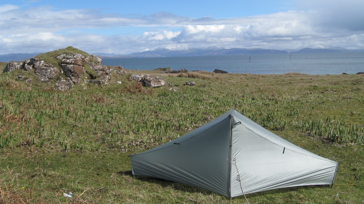
Many of my treks have explored parts of Great Britain, however previously they’ve been designed to connect up points of interest, be they mountains, islands or megalithic sites. During the Covid pandemic and in the post-Covid period, I needed something simpler. The uncomplicated joy of following a line on a map, without any definite plan of where I would stop each night. This way the adventure would unfold and I could adapt the distance for each day depending on weather conditions, how I was feeling and where looked good to stop. I love the peace and quiet of wild camping and this approach keeps the trek flexible, avoiding advance booking of accommodation. If needs must, occasionally I use an official campsite, hostel or bunkhouse. Over this time I also got into wild swimming. A good day involves a dip in the morning to wake up, a dip at lunchtime to cool off on a hot day and a dip in the evening to freshen up. For the most part I followed classic trekking routes, although I tailored them according to my own preferences. |
|
© 2023 Microsoft
|
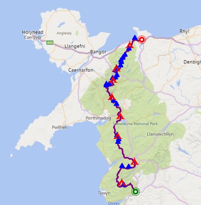
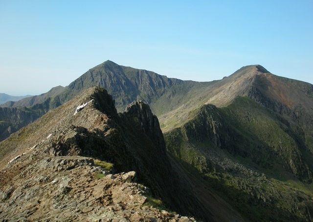
Wales Dragon’s Back NorthSeptember 2020 This nine day route traverses Snowdonia National Park from south to north, starting in Machynlleth and finishing in Conwy. It crosses the highest, most challenging and scenically most dramatic mountains in Wales. The route sticks to the highest ground, traversing the Tarrens, Cadair Idris, the Rhinogs, the Moelwyns, Cnicht, Snowdon, Crib Goch, the Glyders, Tryfan and the Carneddau. My route closely follows the northern part of the route used by the Dragon’s Back race. North of the Rhinogs it also closely follows the Cambrian Way. Click here for my trip report of the route. Click on the map to open an interactive web map of the route. |
Photo © John Lynch
(cc-by-sa/2.0)
|
© 2023 Microsoft
|
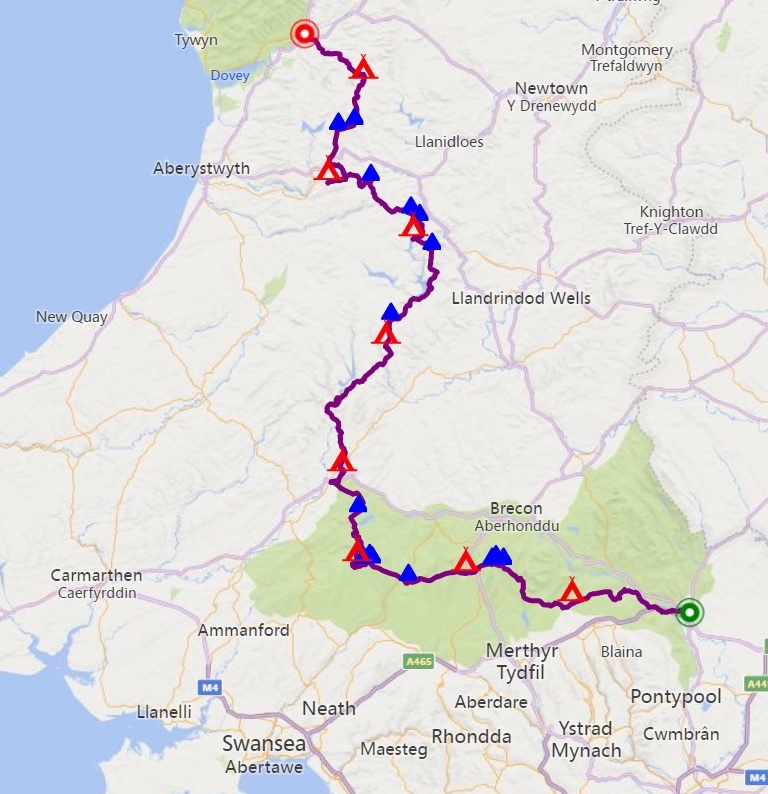
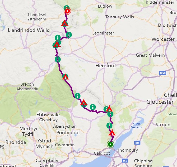
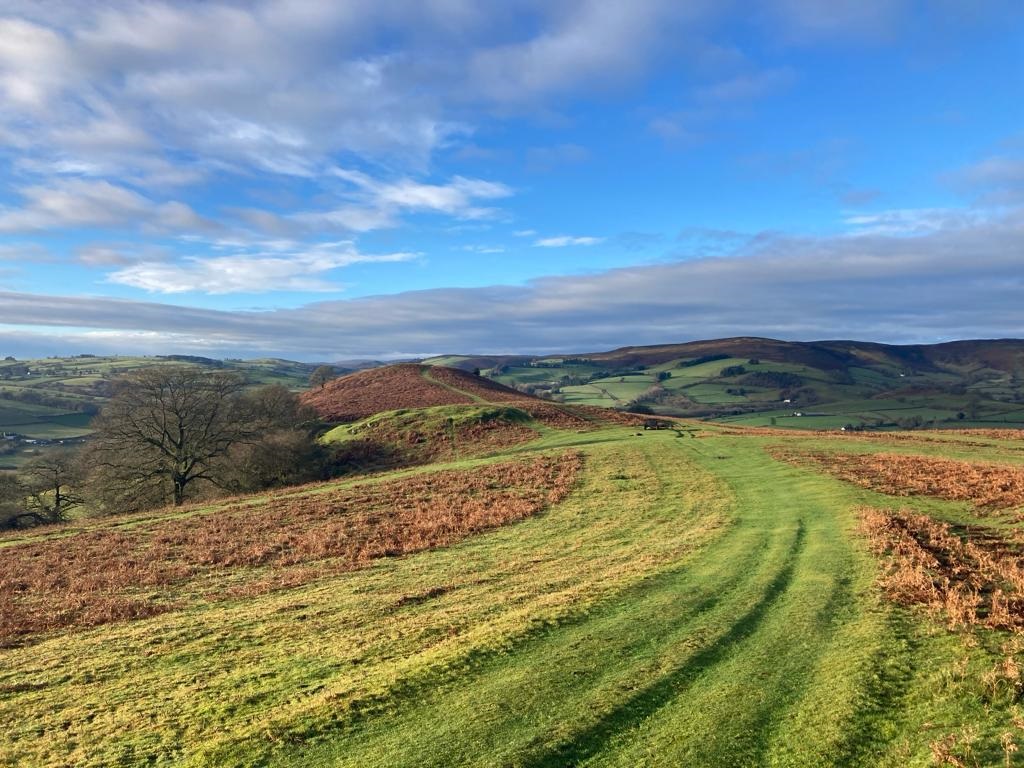
Wales Dragon’s Back SouthSeptember 2021 This nine day route passes through the mountains of south and mid-Wales, starting in Abergavenny and finishing in Machynlleth. In south Wales, the main spine of the Brecon Beacons runs east-west, so is not particularly amenable to a south-north journey. Mid-Wales is characterised by high rolling moors with few distinctive mountains. There are many choices of route here and only really two significant mountains to visit in this area, Drygarn Fawr and Plynlimon. There’s a lot of diversity in the landscape, including the limestone terrain in the eastern Brecon Beacons, the “Celtic rainforest” remnants around Llandovery, the tussocklands of the Abergwesyn Common and the landscaped reservoirs of the Elan Valley. The trek includes overnight stays at the Llyn y Fan Fach shelter, Lluest-cwm-bach Bothy and Nant Syddion Bothy. Click here for my trip report of the route. Click on the map to open an interactive web map of the route. |
Photo © Alan Hughes
(cc-by-sa/2.0)
|
© 2023 Microsoft
|
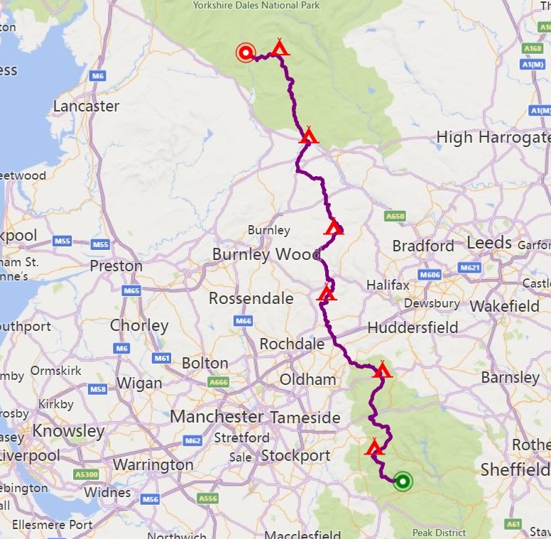
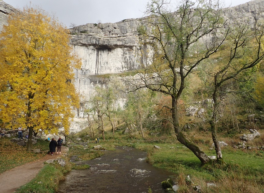
Pennine Way Part 1December 2021/January 2022 The Pennine Way is quite an undertaking to tackle all in one go, so I split it into three sections. The first section I tried something I’d never done before and did the trek in the depths of winter, just after the winter solstice, when the days are shortest. Every day I’d walk until it got dark, set up camp, sleep though the long night, wake up before dawn and start walking at first light. Often the hills were cloaked in fog, so the overall experience had a dream-like quality. Starting from Edale in the Peak District, it was very wet underfoot. One night I bivvied in Top Withens Shelter, a location believed to be Emily Brontë’s inspiration for Wuthering Heights. On New Year’s Eve I stopped for the night at a pub in Gargrave, to dry my wet boots. Once into the well-drained limestone country of the Yorkshire Dales, conditions underfoot improved and the dramatic cliffs of Malham Cove were a welcome sight. After seven days trekking, I finished at Horton-in-Ribblesdale. Click on the map to open an interactive web map of the route. |
Photo © Marathon
(cc-by-sa/2.0)
|
© 2023 Microsoft
|
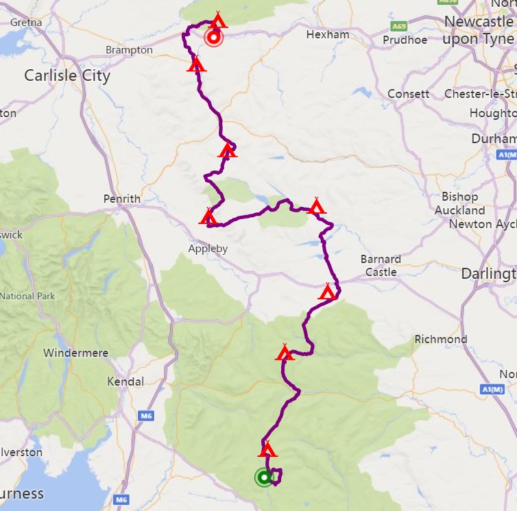
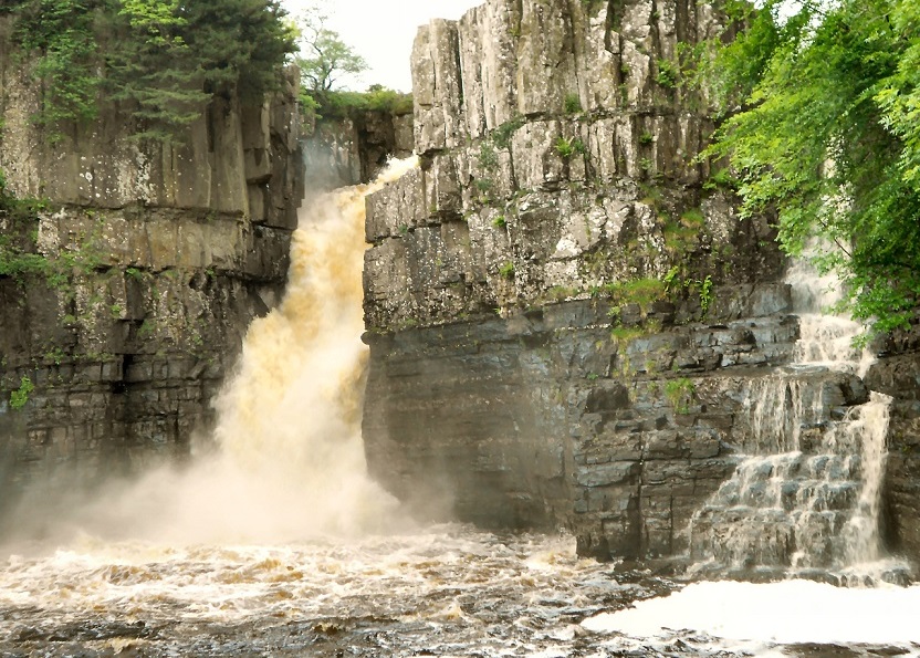
Pennine Way Part 2May 2022 The middle section of the Pennine Way, trekking for nine days from Horton-in-Ribblesdale to Haltwhistle. A picturesque start over Pen-y-Ghent and through the limestone country of the Yorkshire Dales, then on to lower Teesdale. Here wild camping options are limited, so I pitched by Holwick Camping Barn. The next day I passed the dramatic waterfalls of Low Force, High Force and Cauldron Snout, and the vast glacial trough of High Cup Nick. Again there were limited wild camping options, so I stopped at the campsite in Dufton. Somehow I picked up a stomach bug, so the rest of the trek was not pleasant. Climbing Cross Fell, the highest point on the Pennine Way, was a real slog (I didn’t stop at Greg’s Hut bothy). The following day was much easier following the railway along South Tynedale. The final full day I reached Hadrian’s Wall, then stopped at Herding Hill camp site before travelling home. Click on the map to open an interactive web map of the route. |
Photo © David Dixon
(cc-by-sa/2.0)
|
© 2023 Microsoft
|
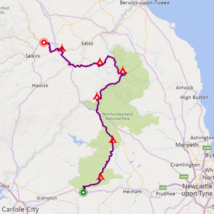
Pennine Way Part 3July 2022 The last third of the Pennine Way, from Haltwhistle to Kirk Yetholm. To make it into a week’s trek and finish at a railway station, I continued on from Kirk Yetholm to Melrose on St Cuthbert’s Way, and took the train from Galashiels to Edinburgh. The route starts by following Hadrian’s Wall eastwards, then turns north through Northumberland National Park. I walked this during a heatwave and sources of drinking water were very scarce. The final challenge on the Pennine Way is the Border Ridge of the Cheviot Hills. I wild camped at the start and end, so was able to walk the majority of the ridge in one day. I didn’t stop at Yearning Saddle refuge hut (west of Lamb Hill) or Auchope Rigg refuge hut. The final couple of days were very pleasant, passing the River Teviot, the River Tweed and climbing the Eildon Hills. Click on the map to open an interactive web map of the route. |
Photo © Andrew Smith
(cc-by-sa/2.0)
|
© 2023 Microsoft
|
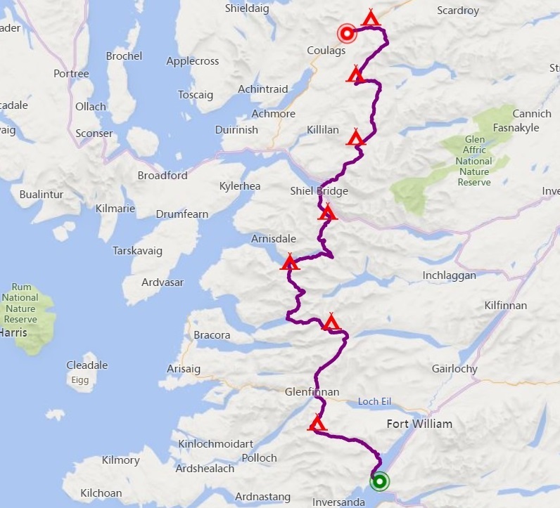
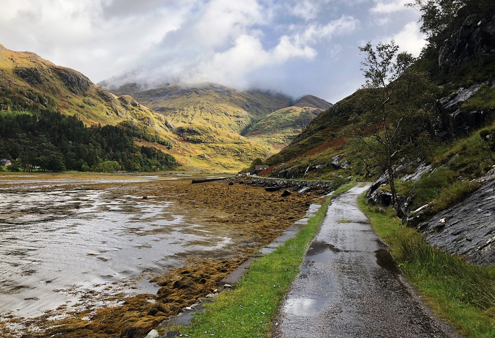
Cape Wrath Trail SouthJune 2022 The Cape Wrath Trail is an unofficial long distance route that goes from Fort William to Cape Wrath. There are significant variants from different authors and some say it’s more a “state of mind” than an agreed route! The Camusnagaul ferry doesn’t run from Fort William on a Sunday, so I started further south, from Corran Ferry instead, and finished eight days later at Achnashellach Station. The route goes through Cona Glen, Glenfinnan, into Knoydart, passing four bothies (Corryhully, A’ Chuil, Sourlies, Barisdale). After leaving Knoydart at Kinloch Hourn, it crosses the South Shiel Ridge and descends to Shiel Bridge. The next section climbs to the dramatic Falls of Glomach, then traverses some very remote country passing two more bothies (Maol Bhuidhe and Bendronaig Lodge). I walked out by crossing Bealach Bhearnais and had a difficult time crossing the Allt a’ Chonais, because the wire bridge was broken. Click on the map to open an interactive web map of the route. |
Photo © Bill Kasman
(cc-by-sa/2.0)
|
© 2023 Microsoft
|
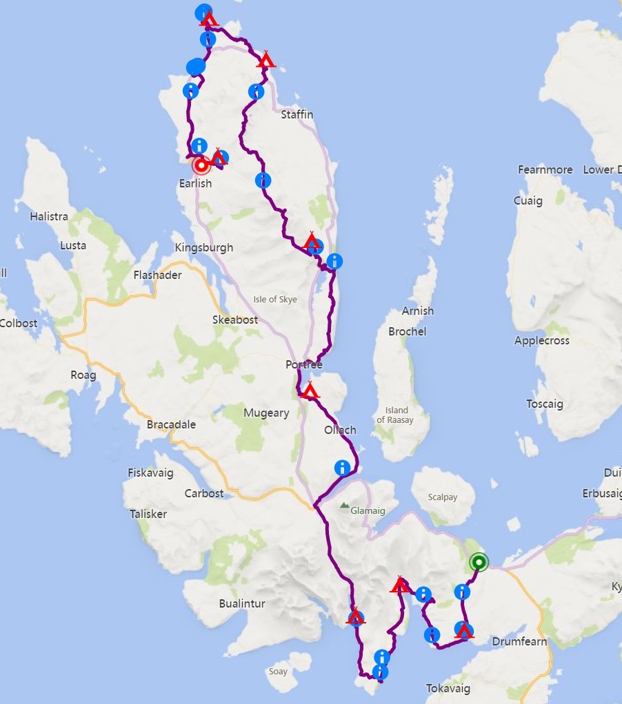
Skye TrailSeptember 2022 The Skye Trail is an unofficial long distance route that traverses the east side of the Isle of Skye, passing through some of the most spectacular landscapes on the island. I used a CityLink coach to get to the start of the route at Broadford. On the second night there were strong winds, so I shelted in woods near Torrin. The following day I was fortunate to visit the Spar Cave, which is only accessible at low tide, then spent the night in Camasunary Bothy. A couple of long days got me to the Old Man of Storr, then the following day was an epic, walking the entire Trotternish Ridge, to reach Flodigarry Hostel, where I sheltered from a storm. The next day was a short walk to reach The Lookout bothy, perched on a cliff overlooking Rubha Hunish, the official end of the route. From here I added an extra day, heading south to pick up the CityLink coach from Uig, stopping at various places of interest along the way. I walked for nine days, although the first and last days were very short, allowing for public transport. The CityLink coach from Uig was cancelled, so I shared a taxi with some other people in the same position to return to Portree. Click on the map to open an interactive web map of the route. |
Photo © Graeme Yuill
(cc-by-sa/2.0)
|
© 2023 Microsoft
|
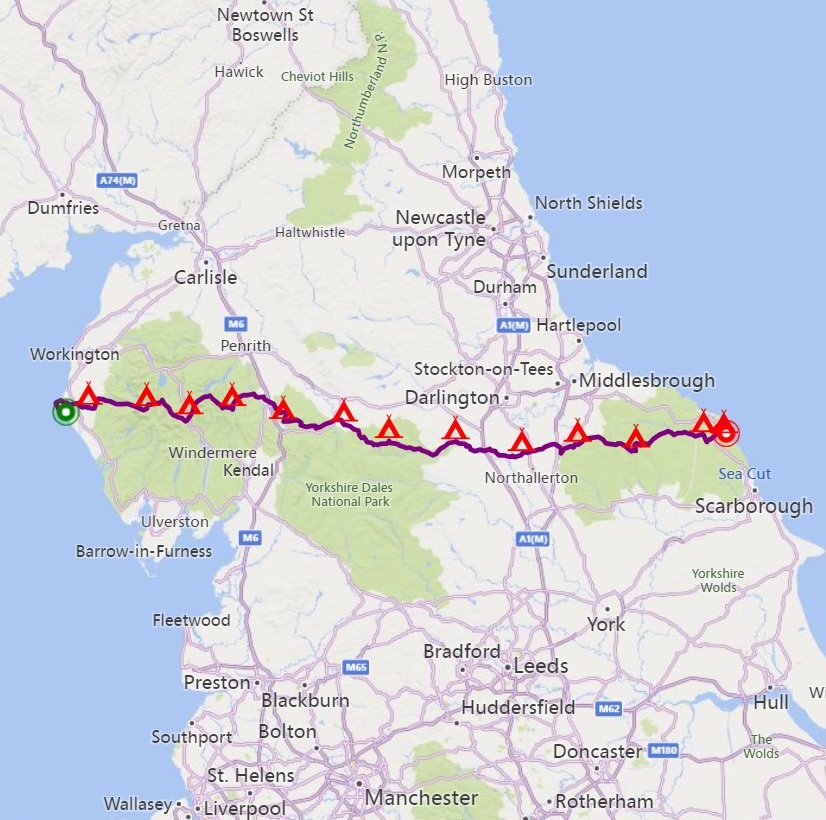
Wainwright's Coast To CoastMay/June 2023 This route, first published by Alfred Wainwright in 1973, starts from the Irish Sea at St Bees, then travels east across the Lake District, the Yorkshire Dales and the North York Moors National Parks, ultimately reaching the North Sea at Robin Hood's Bay. Wainwright designed it to showcase the variety of landscapes in the north of England and also to create (in his view) a vastly better route than the Pennine Way. He wanted to encourage others to devise their own routes, but so good was his judgement that most people stick closely to his original route. A real sense of community has developed along the route, with pubs offering basic camping to Coast to Coasters in their beer gardens, and impromptu tuck shops in farms and churches providing refreshments, with honesty boxes for payment. I met the legendary Alby Williams, who has completed the route 40 times and regularly posts useful information on his Facebook page. I completed the 186 miles in thirteen days, much longer than my recent treks, but such a walk really has to be done in one go. Click on the map to open an interactive web map of the route. |
Photo © Philip Barker
(cc-by-sa/2.0)
|
© 2023 Microsoft
|
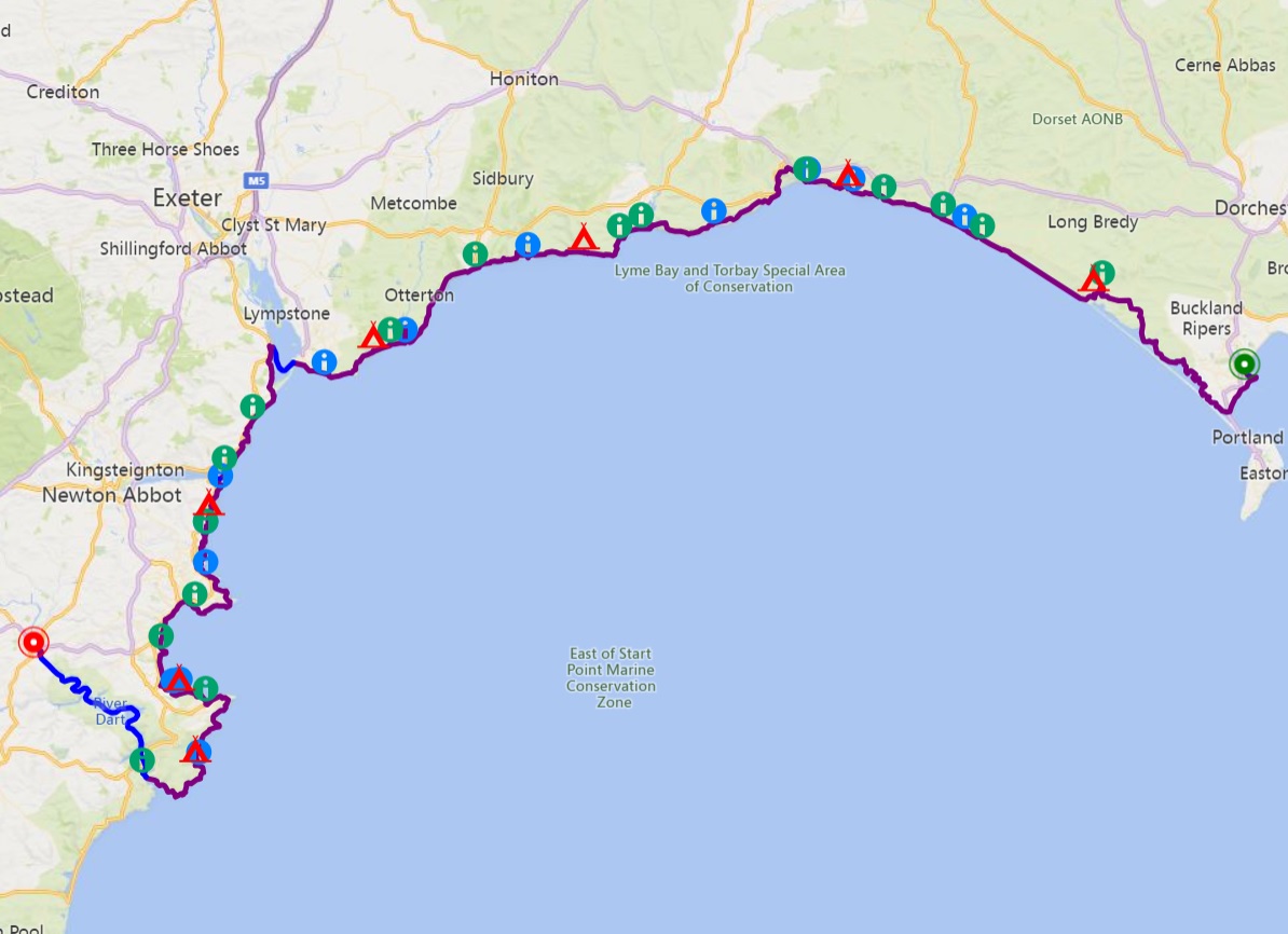
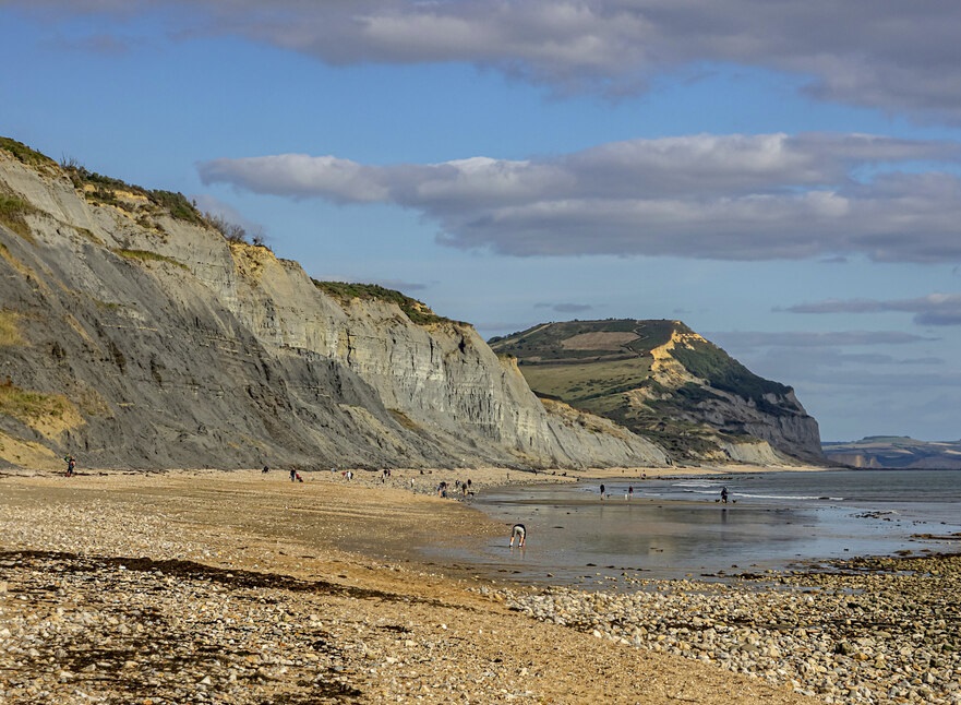
South West Coast Path Part 1July 2023 The South West Coast Path is 630 miles long, requiring a lot of time and commitment to complete in one go. I'm breaking it down in stages, each stage being around 100 miles long, representing a week’s walking. Since I’d already walked the Isle of Purbeck extensively, I commenced the first stage from Weymouth Railway Station, finishing at Dartmouth a week later. For a spectacular end to the trip, I took the ferry up the River Dart to reach Totnes Railway Station. Outside the towns and villages, it was suprisingly easy to find discete wild camping spots along the coast. I enjoyed the numerous opportunities to go swimming in the sea. Delicious food was available from the frequent fish and chip shops, cafes and pubs along the coast, meaning I didn't have to carry much food. Click on the map to open an interactive web map of the route. |
Photo © Jonathan Billinger
(cc-by-sa/2.0)
|
© 2023 Microsoft
|
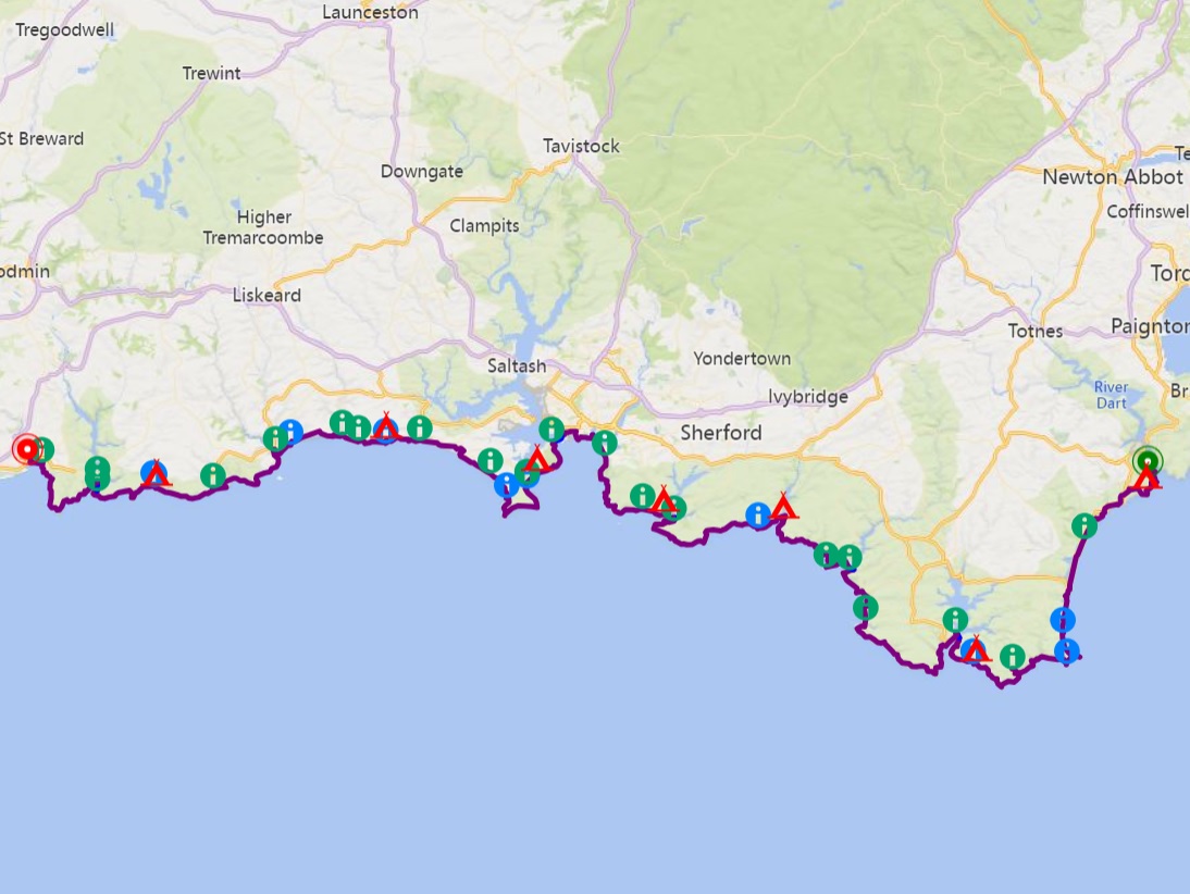
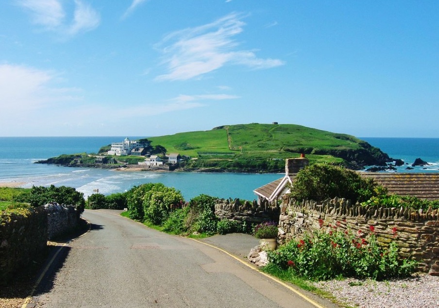
South West Coast Path Part 2August 2023 The second stage exploring the SW Coast Path. I reached the start by train to Paignton, then the Dartmouth Steam Railway and ferry to Dartmouth. Day two was 19 miles, so I could catch the first ferry the following morning to Salcombe. The third day was nearly 20 miles, involving a ferry across the River Avon, a visit to the tidal Burgh Island, finishing at the River Erme estuary. I got up early the following morning to ford the river at low tide. There was then a long wait for the afternoon ferry across the River Yealm. The fifth day involved two ferries to get around Plymouth. The sixth day finished at the atmospheric ruins of St German’s Hut, from where the following day I took a steep zig zag path down the undercliff to the beach for an early morning swim. At the end of day seven, I camped at the beautiful back at Llansallos. The final day included a ferry crossing to Fowey, finishing at Par Railway Station. Click on the map to open an interactive web map of the route. |
Photo © Derek Voller
(cc-by-sa/2.0)
|